Show land.
Show Lifestyle
Sell Property
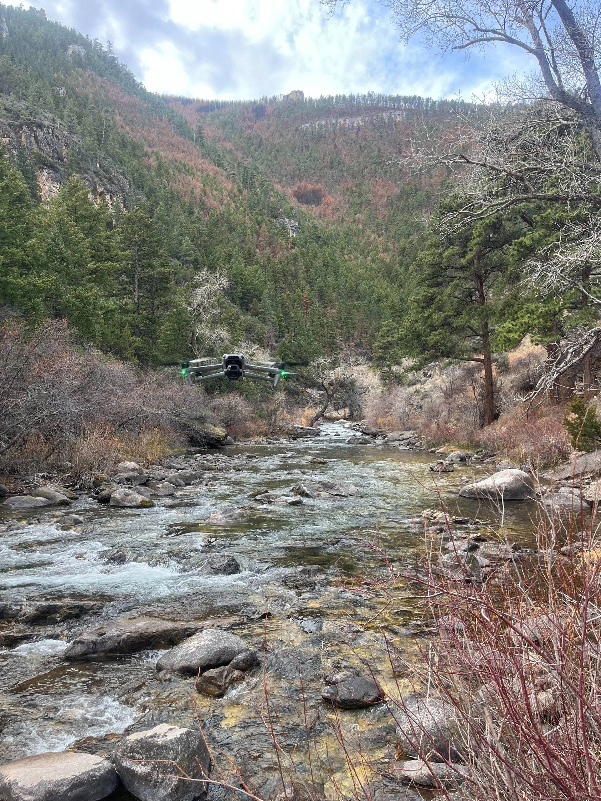
Showcase your listing and power your projects with precision drone imagery, mapping, and inspection services

Professional Drone Services Across Wyoming
Real Estate • Construction • Mapping • Inspections
Have a Unique Project?
At AerieView, we are adaptable. If your industry or service isn't listed, contact us to discuss a custom aerial solution.


Why Use Us?
Marketing Ready Visuals That Stand Out
For real estate, listings, land showcases, or content creation. Our footage is clean, crisp, and professionally edited to help you stand out from your competitors.
Custom Solutions for Any Industry
Real estate, construction, agriculture, oil & gas, ranching, insurance, or special projects. We adapt the deliverables to fit your industry needs, not the other way around.
FAA Licensed & Fully Insured
We operate legally and safely. Every flight is piloted by an FAA part 107 licensed operator with commercial liability insurance. Protecting your job, assets, and reputation.
Cost-Effective Alternative to Traditional Methods
Skip expensive manned aircraft, scaffolding, or manual inspections. Drone data is safer, quicker, and more affordable while still delivering professional-grade results.
Faster Turnaround, Less Hassle
Skip the long wait times and get deliverables quickly. Whether it's real estate, inspections, mapping, or land/ranch work, we prioritize rapid project delivery without cutting corners.
Custom Consultation
Ready to elevate your project? Contact us today for a free consultation and a detailed quote tailored to your specific needs.